The Way of St. James: Inland Route
Two variants of The Way of St. James in Tolosaldea
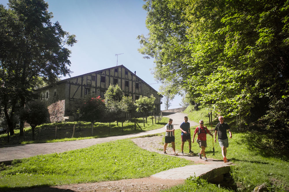
The Inland Route of The Way of St. James passes through Tolosaldea on two different routes. Once finished the stage between Irun and Hernani, you have to choose between following the course of Oria river passing different towns, known as the ‘Royal Road’; or following the Saiatz mountain route. Both come together at Zegama, passing San Adrian tunnel.
Eight stages
The Inland Route has eight stages. After going through inland Gipuzkoa, goes across the Alava Plain until Santo Domingo de la Calzada, where it joins the French Way.
Eight stages
The Tourist Information Centre, located in Tolosa, manages The Way of St. James services: you can obtain the pilgrim credential and seal it, obtain information about the Way, accommodation…
The Oria route throught the Royal Way
Besides being The Way of St. James, formerly known as the Royal Road, has been one of the main roads linking Europe and the Iberian Peninsula for centuries. There are remains proving the importance of the Road, long before the pilgrimage started in the 11th century.
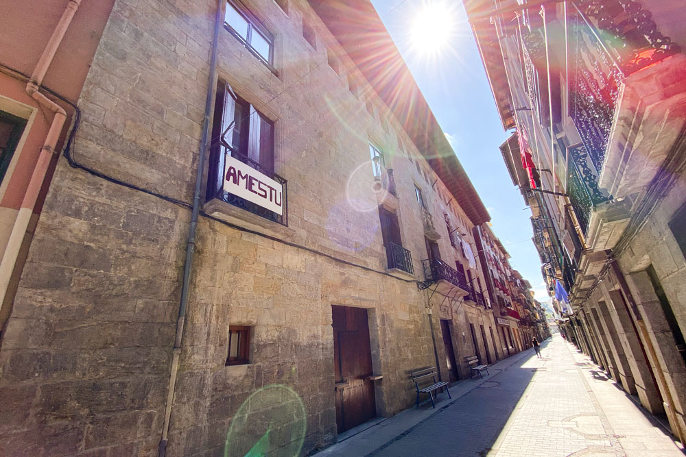
2A Stage: Hernani-Tolosa
Dist.: 19.30km | Height dif.: 270m. | Time: 4h 30′
Passes through some towns historically linked to the Royal Road, such as Urnieta, Andoain, Amasa-Villabona or Anoeta. You can see traces of progress and industrial development throughout the route.
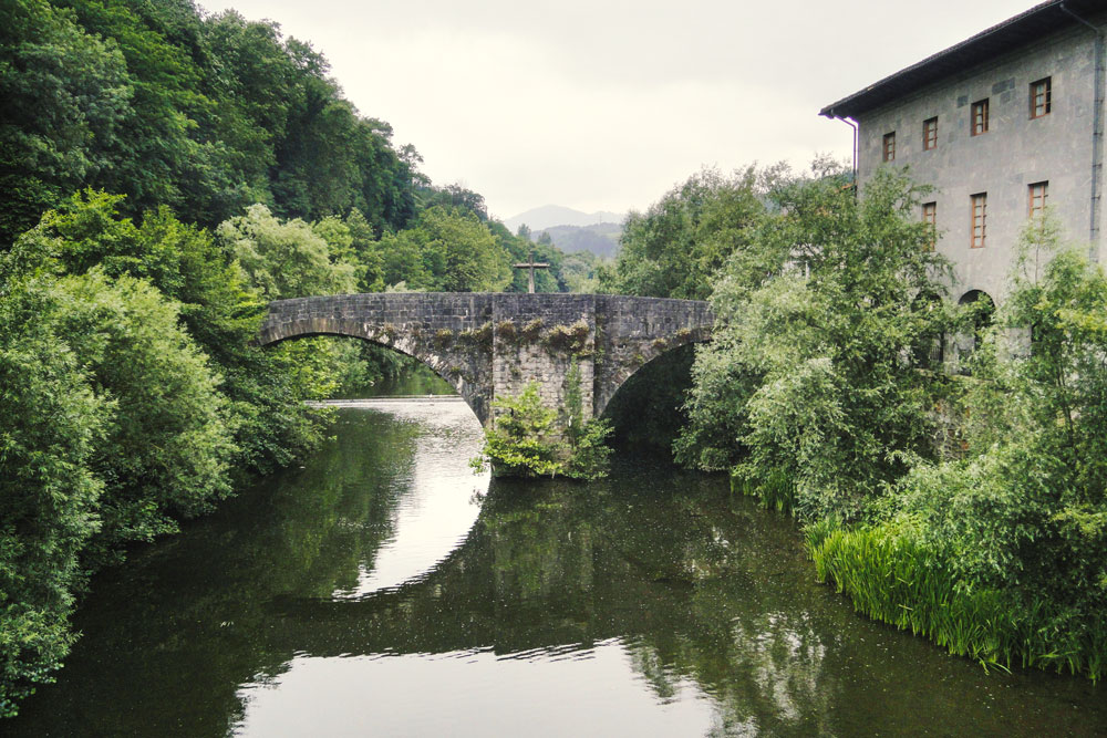
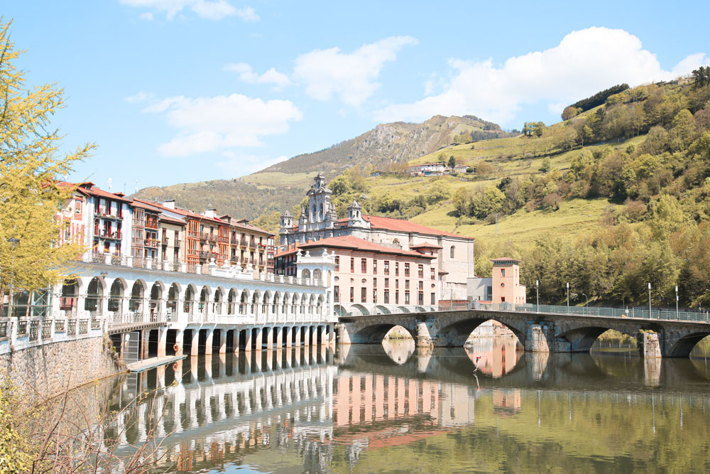
3A Stage: Tolosa-Zegama
Dist.: 35.20km | Height dif.: 598m. | Time: 8h 10′
Goes through towns like Alegia or Ikaztegieta, with elements highlighting the importance of this Way. It then continues through Legorreta, Ordizia, Beasain, Idiazabal and Segura, until reaching Zegama.
Tourist Information Centre
The Tourist Information Centre, located in Tolosa, manages The Way of St. James services: you can obtain the pilgrim credential and seal it, obtain information about the Way, accommodation…
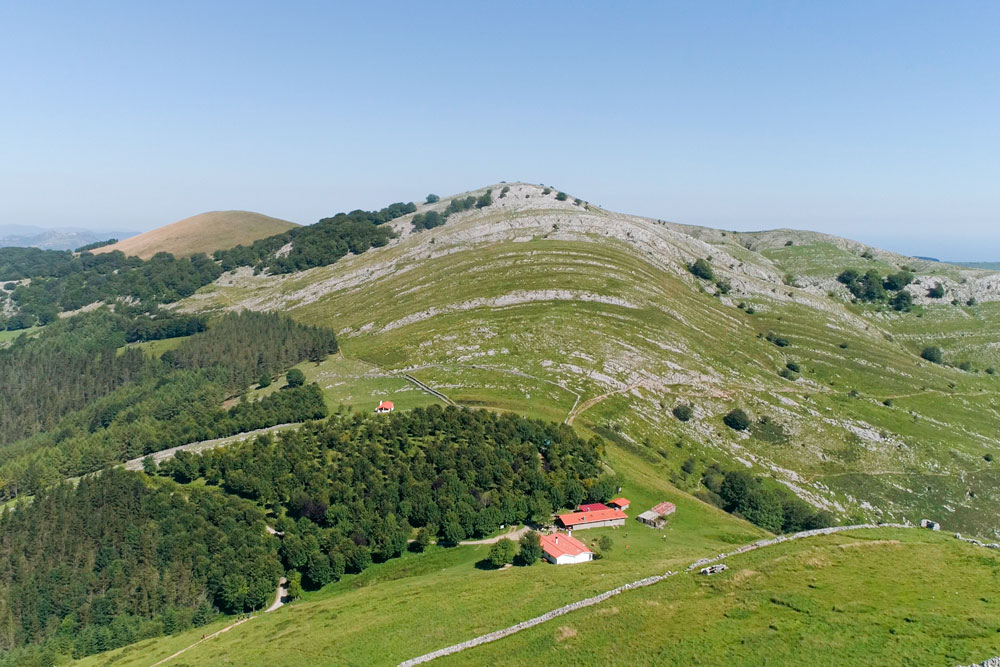
The Saiatz route through the mountains
It’s a much more difficult route compared to the Oria one. It crosses part of the Hernio massif and other mountains bordering the west part of the Oria valley. The views throughout the route are stunning.
2B Stage: Hernani-Bidania
Dist.: 8.80km | Height dif.: 1,250m. | Time: 8h 15′
Once leaving behind the populated areas, the route enters different forests of pine, oak and beech trees, along with lonely farmhouses. It borders the peak of Zarateaitz mountain to continue to Andazarate peak (at the top of Asteasu) and the close Iturrioz farmhouse. There starts the way up to Zelatun hill, on the hillside of Gazume mountain, to later continue down to the other side of the valley, to Bidania.
3B Stage: Bidania-Zegama
Dist.: 34,30km | Height dif.: 950m. | Time: 8h 50′
Starts by going up Murumendi mountain through Santa Marina neighbourhood. The route avoids populated areas, but not rural ones, such as Mandubia, Lierni or Zerain. Different chapels can be seen along the way.
Plan your visit
Where to eat
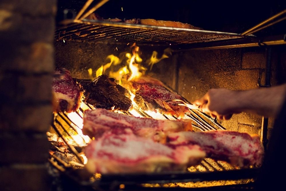
Restaurants in Tolosaldea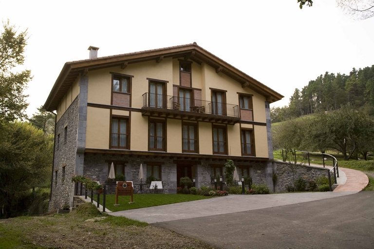
Where to stay
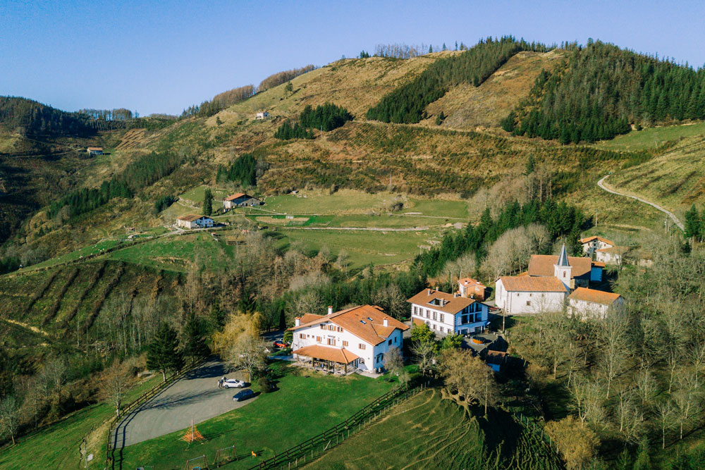
Accommodations in Tolosaldea