Hiking routes for all preferences and levels
The guide to walk in Tolosaldea’s mountains
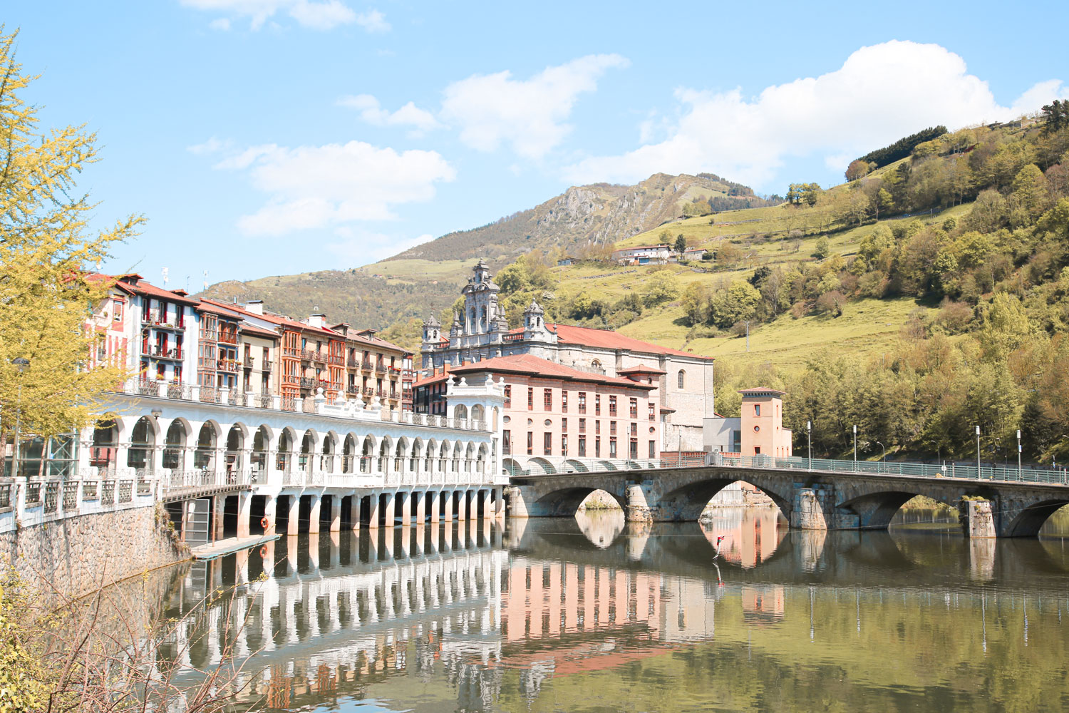
One of the est ways to get to know Tolosaldea is through hiking. All the routes here are officially approved, perfectly signposted and with different levels of difficulty.
Townhalls and nature spaces managements of Tolosaldea have prepared different routes because of, amoung other reasons, their cultural importance as a whole: landscape, ethnography, rural architecture, history and myths.
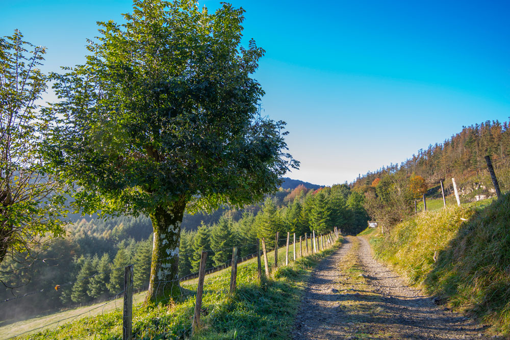
SL: Local walks
Less than 10km long routes, of low or medium-low difficulty. Thanks to these routes you can get to know Tolosaldea’s rural landscape and discover part of the historical heritage of the surroundings of some of the villages.
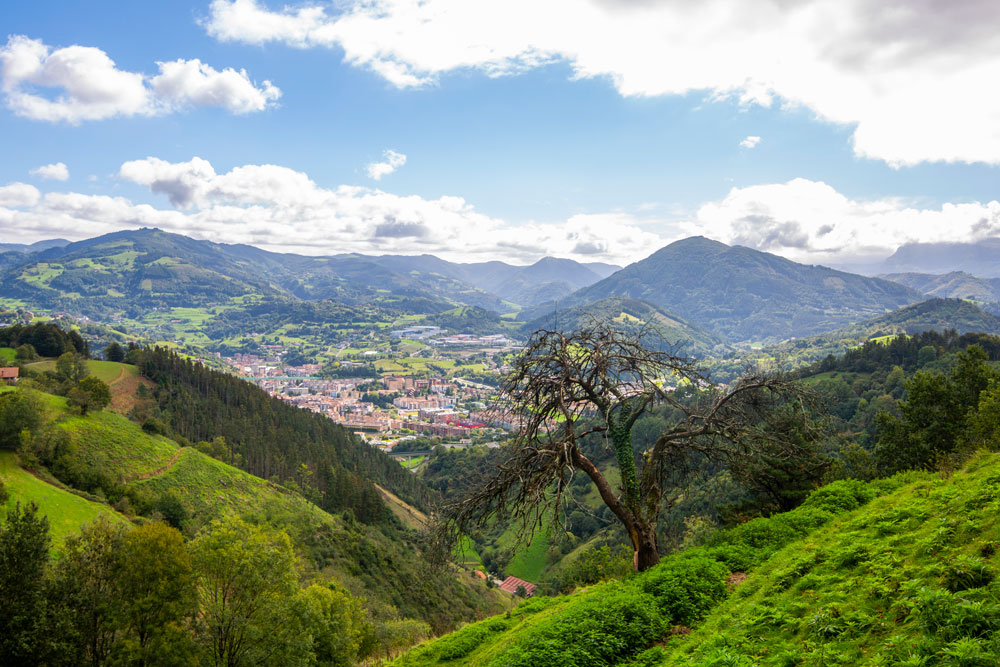
PR: Medium distance walks
Medium distance routes, with a bit more of difficulty and height difference. Some of these border Tolosaldea’s most iconic peaks, such as Txindoki, Minas in Aralar, Malloas, Uzturre, Otsabio or Belkoain.

GR: Long distance walks
There are four long distance routes and divided in different stages, having some of them passing through Tolosaldea. Specifically Aralar mountain range, Hernio massif or the Uzturre-Belabieta range.
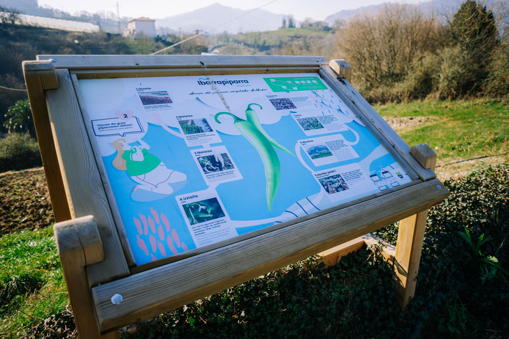
Themed routes
Short local walks, with low difficulty, focused on a specific topic, in order to deepen into Tolosaldea’s historic, natural, heritage, cultural and gastronomical wealth. From literature and bertsolarism, to historical events or the importance of Ibarra pepper.
Plan your visit
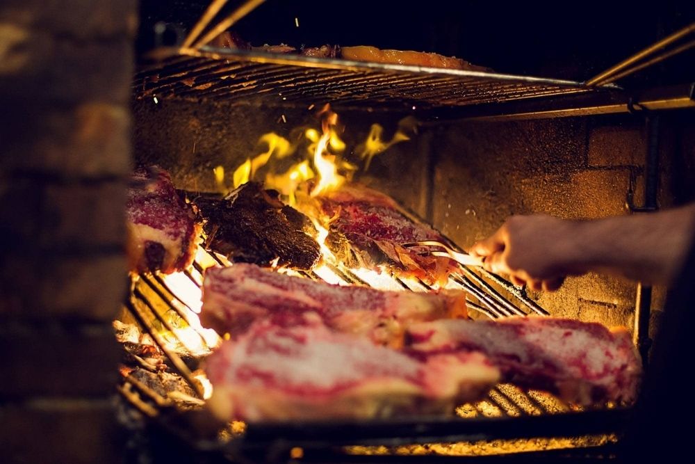
Where to eat
Restaurants in Tolosaldea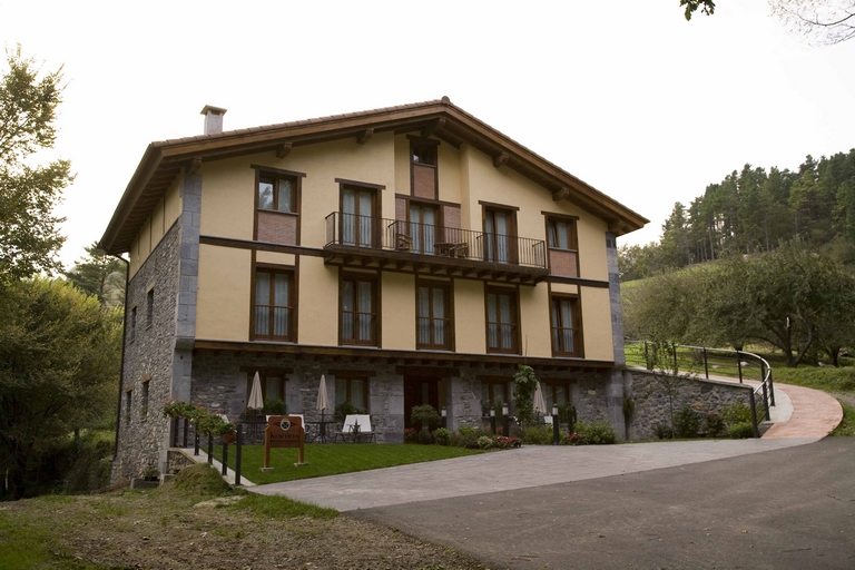
Where to stay
Accommodations in Tolosaldea